

Houston To El Paso, and All In Between
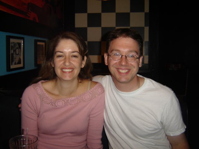 The drive from Houston, TX to El Paso, TX is incredibly long. There's not a lot going on, with the exception of San Antonio (where I got to see former FAPCer Julie for dinner).
The 746 mile drive is one of isolation and serenity...if your car does not break down. Here are some highlights:
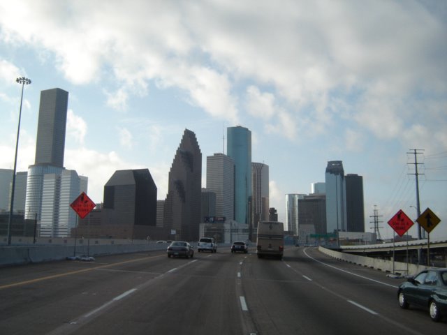 Houston, the fourth largest city in the United States, is a sprawling metropolis in Southeastern Texas. It takes quite a bit of time to get out of the city, based on traffic and the sheer size of it, with only a small cluster of big-city like skylines.
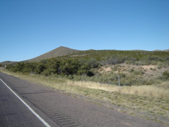 The road to San Antonio is mostly flat, yet mountains develop relatively quickly as you move West on route 10. The rule of the road is simple: get gas when you can. There really aren't a lot of options to fill up, relieve yourself, or eat on this drive.
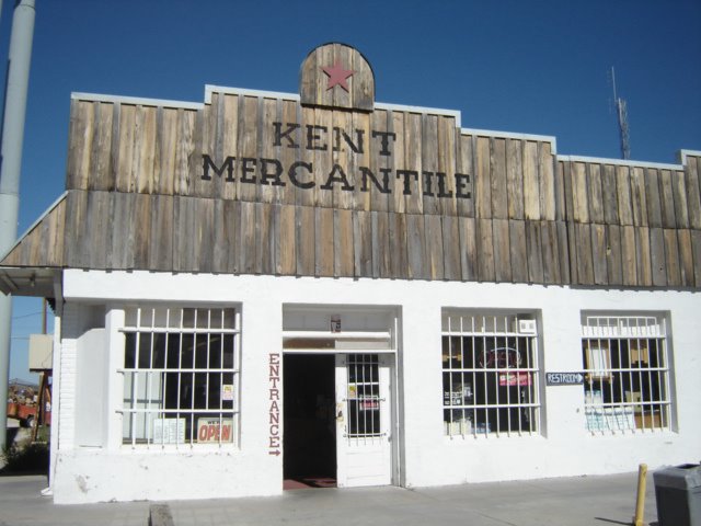 I had to settle for buying lunch at the Kent Mercantile store in Kent, TX. The best I could do was some Reese's Peanut Butter Cups. This place is a throwback to the old country store that my Dad talked about having as a kid. It's the Wal-Mart of Kent, with shirts, food, and other stuff one might need to get along through life. They didn't have a deli though, ergo the Reese's Peanut Butter Cups.
Kent, by the way, has a population of 744 -- 95% of it white -- according to the census bureau, down from 859 in 2000. I wonder what is the cause of the exodus?
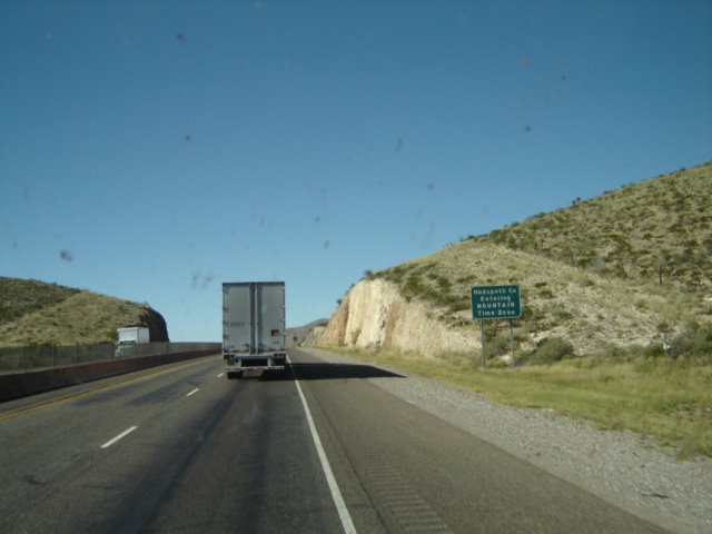
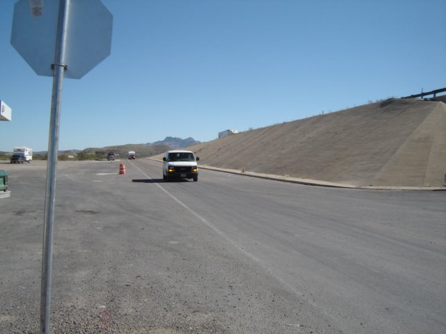 Here's a view of what's East of Kent...nothing.
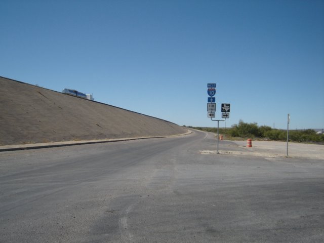 Here's a view of what's West of Kent...nothing.
To be nice to Kent though, it did have a store, which is more than I can say for its surrounding communities.
 The trip does provide a wonderful chance to look at rock formations, which is something I actually enjoy doing. One mountain range, the Apache Mountains, was particularly impressive to look at. It's located in Southwestern Texas, in Culberson County a mile northeast of Kent.
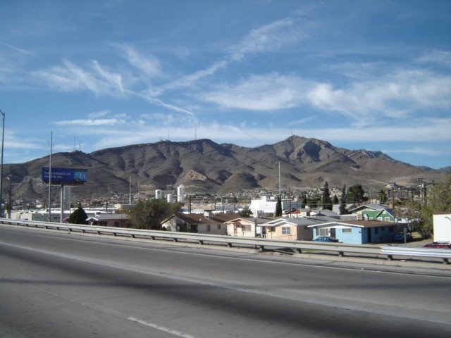 Here's some information on the range, just in case you never get a chance to see it for yourself:
The highest elevation within the Apaches is 5,650 feet above sea level. The mountains, presumably named for the Mescalero Apaches who roamed the area until the late nineteenth century, are one of three exposed portions of the largest fossil reef in the world (the others are the Guadalupe Mountains in northwestern Culberson County and the Glass Mountains in Brewster County). The reef was formed during Permian times, some 250 million years ago, when the area was submerged in the Delaware basin. Lime-secreting algae were the main reef-builders, with some sponges, bryozoans, and brachiopods; their remains and the lime they secreted formed the reef. The Apaches are steep and rocky with local deep and dense dissection. The shallow, stony soil surface supports oak, live oak, juniper, mesquite, piñon, and grasses. During the 1960s barite was mined from open pits in the Seven Heart Gap area of the Apaches, and some production of zinc was reported from the Buck Prospect.
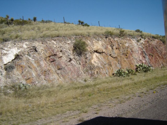
 Interstate 10 is a great example of mankind's dominion over the Earth. You can see here that the mountains, which were deemed too in the way, were cut into to allow for the road. Why bother having a road go over the mountain when you can cut right into it? This goes on for miles and miles.
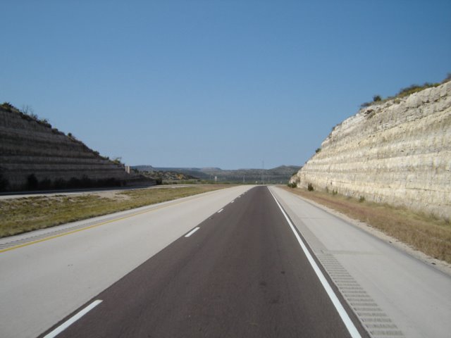 The cuts do have one scientific benefit, it allows historical geologists to learn about the area and determine what long-term history it has.
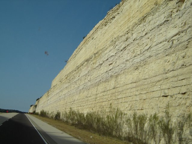 One can see the layers and layers of sediments left into the rock, long ago when this area was under the water. It's a sight to behold and is worth the trip...if you like that sort of thing.
But the real goal was to go to El Paso, TX, the closest to Mexico I have ever been to.
RELATED LINKS:
America's Treasures
posted by Nominal Me | Monday, November 14, 2005
![]()
![]() |
|
0 Comments:
Post a Comment
|<< Home